Track Charts - Volume 9 - $10*
Erie Railroad -
1536 images of Land Valuation Maps
*Now
available as a direct download via Dropbox®! See main NMRO Products page for
details.
Thanks to the efforts of a few wonderful individuals, this latest group of Land Valuation Maps is now released to the public. See the details below to review the routes represented in this new collection.
NMRO is offering ONE (1) compact disk containing 1536
images of land valuation map drawings of -- Erie Railroad (mostly complete
coverage west of Binghamton, NY to Marion, OH).
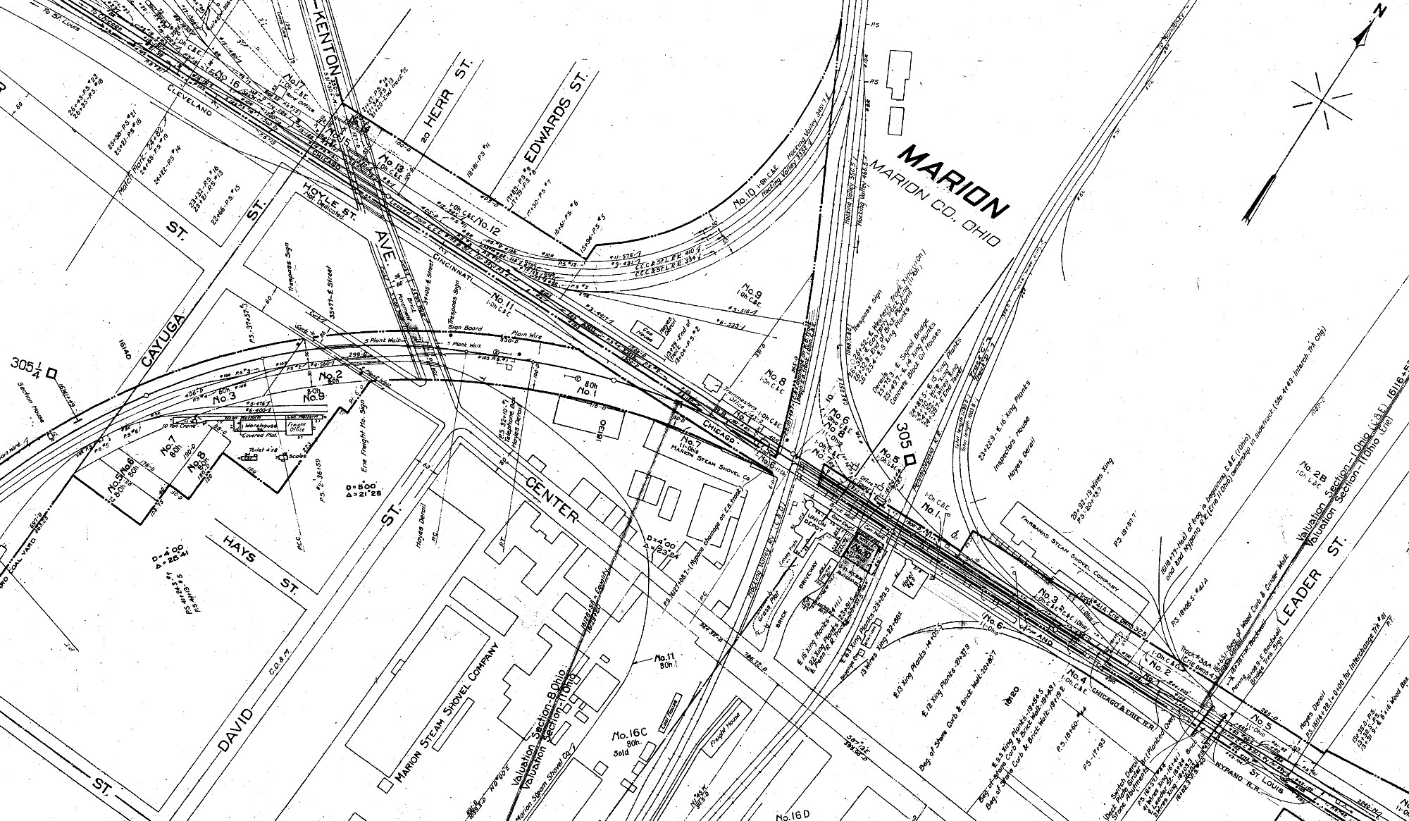
Please, make note of the
sample images provided as they indicate just a tiny fraction of trackage
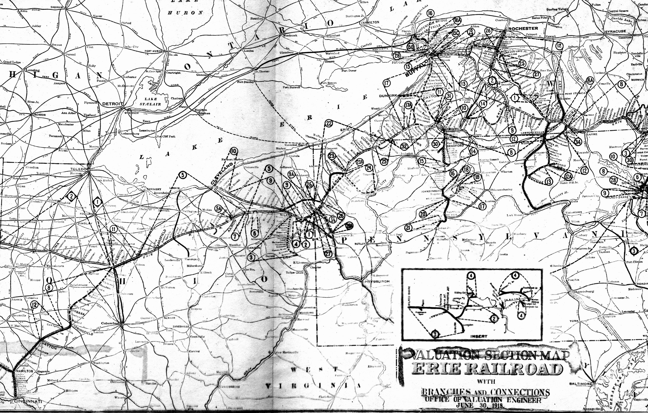
covered on this CD. The key map for Erie Railroad shows the complete system but
trackage covered on this CD extends only from Great Bend, PA (east of
Binghamton, NY) to Marion, OH (and the route southwest of there).
This
CD contains public domain land valuation maps for the following railroad: Erie
Railroad.
Image Details: Most all Land Valuation Maps are 9950 x 4200+/-
pixels. A very few are smaller (because they were given to us as smaller
images). Resolution of all images is mostly 2 colors GIF format.
If you were to try to obtain these maps anywhere else in paper
form it would cost you THOUSANDS of dollars!!! NMRO Products proudly believes
that railroad information should be shared as reasonably as possible.
Clarification: The data is FREE because it is public domain. NMRO just does the
legwork for you.
![]()
Erie - System Map
(right click on images and open larger version in a new tab)
Erie Railroad Land Valuation Map Samples

Order your copy today by mailing $10 + $2 postage to:
Scott J. Whitney
78 Goret Dr.
Colorado Springs, CO 80911
NOTE 1: International mail orders must include $4 additional postage to Canada & Mexico, Total postage $6.
(NOTE 2: ALL International mail orders outside North America must be by Dropbox download only.)
Or use the handy PayPal links below:
![]()
